
Drone photogrammetry is well suited for:
- Mapping large areas for housing, industrial estates, plantations, and mines
- Creating base maps and contour maps for planning
- Monitoring construction progress over time
- Volume calculations, such as material stockpiles or cut and fill
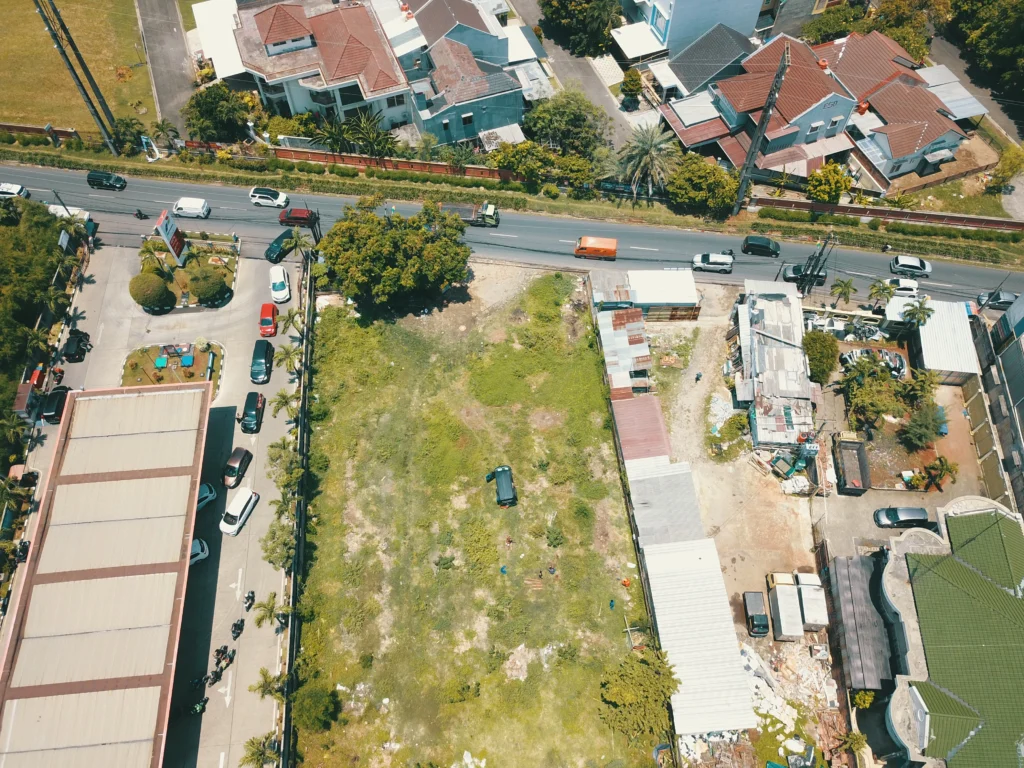
- Documenting site conditions and the surrounding project environment
- Creating 3D models of buildings or sites
Accuracy is improved by installing ground control points measured with geodetic GPS, so the map's positions and elevations are tied to a coordinate system.
Scope of Work & Work Stages
- Consultation & Mission PlanningWe define the area, the required output resolution, and the type of final deliverables, then prepare a flight plan.
- Site Survey & Condition CheckThe team checks site conditions, the flight area, weather factors, and applicable drone flight regulations.
- Control Point Installation & MeasurementGround control points are installed and their coordinates measured to ensure accurate map results.
- Aerial PhotographyThe drone flies along the planned route and captures photos with the appropriate degree of overlap.
- Photo ProcessingThe photos are processed to produce an orthophoto map, surface models, and a point cloud.
- Map Product GenerationFrom the processed data, contour maps, elevation models, and 3D models are produced as needed.
- Quality Check & ReportingThe results are checked against the control points and compiled into a report.
What You Get
- Aerial orthophoto map of the survey area
- Digital surface and terrain models (DSM and DTM)
- Contour map
- 3D model of the site or building
- Volume calculations when required
- Control point data and mapping results report
- Output files in ready-to-use formats for planning and documentation
Integrated with Other CRN Services
PT Cipta Reka Nusantara handles surveys, design, engineering, and permitting within a single team. Data from this service is used directly in subsequent work, so there is no need for re-measurement and every project stage uses the same reference.
- Measurable accuracy: ground control points are measured with GPS Geodetic so the orthophoto and elevation models are tied to the correct coordinates.
- A basis for planning: orthophotos, contour maps, and 3D models make site planning easier for Architectural Design and Detail Engineering Design (DED), especially for large sites.
- Project monitoring: periodic mapping records construction progress as well as cut and fill volumes over time.
- Condition documentation: aerial photos and 3D models of buildings or towers serve as supporting visual data Factory & Warehouse Structural Audit and Tower Strengthening.