
Advantages of LiDAR include:
- High accuracy in measuring elevation and surface shape
- Able to map vegetated areas, since some laser pulses can pass through gaps in the foliage and reach the ground surface
- Rich object detail, such as buildings, cable routes, structures, and changes in landform
- Fast data capture over large areas or hard-to-reach terrain
LiDAR is especially useful for:
- Mapping forested land, plantations, or areas with dense vegetation
- Planning road corridors, transmission lines, and infrastructure networks
- Mine mapping and volume calculation
- 3D documentation of buildings, towers, or industrial facilities
- Terrain analysis for drainage and flood mitigation
For projects that require highly accurate ground surface data under challenging field conditions, LiDAR is the right choice.
Scope of Work & Work Stages
- Consultation & Mission PlanningWe define the area, point density, and required accuracy, and select the appropriate platform (drone, aircraft, or ground vehicle).
- Site Survey & Control PointsSite conditions are inspected and control points or GPS base stations are set up to tie the data to the coordinate system.
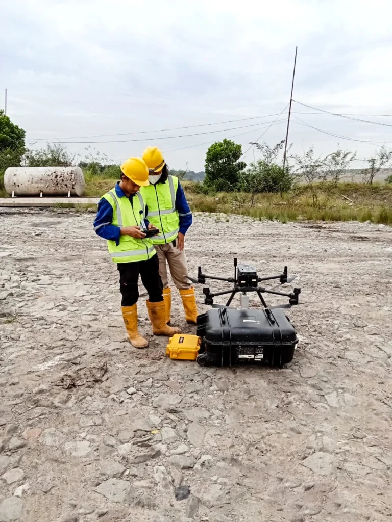
- LiDAR Data AcquisitionThe sensor is operated along the planned flight lines to collect a point cloud across the entire area.
- Preprocessing & GeoreferencingSensor, position, and orientation data are processed so that the point cloud has accurate coordinates.
- Point Cloud ClassificationPoints are separated by type, such as ground surface, vegetation, and buildings.
- Map Product GenerationTerrain models, contour maps, profiles, and 3D models are produced from the point cloud as required.
- Quality Check & ReportingResults are checked against control points and compiled into a report.
What You Get
- 3D point cloud of the survey area
- Terrain and surface models (DTM and DSM)
- High-accuracy contour maps
- Terrain sections and profiles when required
- 3D models of mapped objects or facilities
- Volume calculations when required
- Mapping report and files in ready-to-use formats
Integrated with Other CRN Services
PT Cipta Reka Nusantara handles surveys, design, engineering, and permitting within a single team. Data from this service is used directly in subsequent work, so there is no need for re-measurement and every project stage uses the same reference.
- Accurate ground surface data: the LiDAR-derived DTM serves as the basis for planning elevations, drainage, and earthworks in Detail Engineering Design (DED).
- Vegetated areas and difficult terrain: complements Topographic Survey and mapping by Drone when the ground surface is covered by dense vegetation.
- Tied coordinates: LiDAR data is tied to control points from the GPS Geodetic so it can be combined with other survey data.
- 3D asset documentation: 3D models of towers and industrial facilities support analysis in Tower Strengthening and Factory & Warehouse Structural Audit.