
A topographic map contains important information, including:
- Elevation (height) of each point on the site
- Contour lines depicting the slope and shape of the ground surface
- Site boundaries and area
- Existing features such as buildings, roads, drains, fences, trees, poles, and rivers
This data serves as the basis for architects and engineers in determining building placement, floor levels, drainage systems, and earthwork requirements. An accurate survey prevents design errors such as standing water, buildings that do not fit the contours, or inaccurate soil volume calculations.
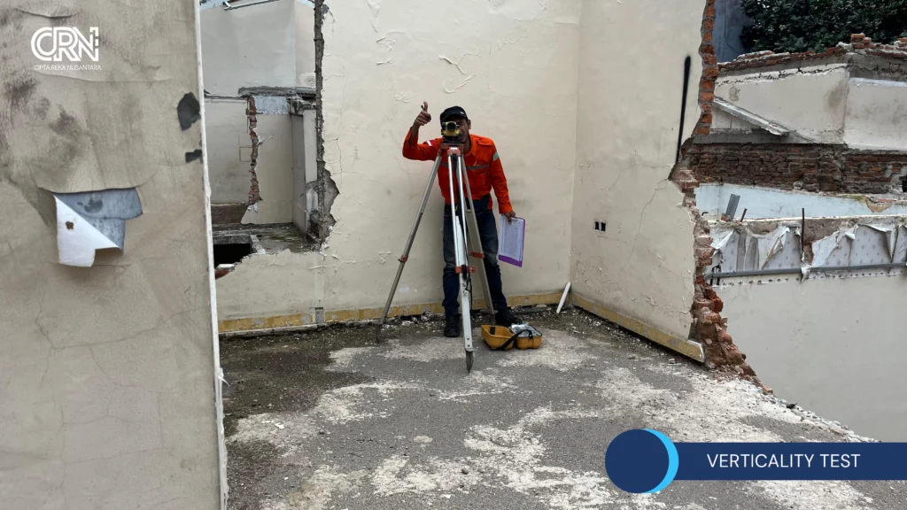
Scope of Work & Work Stages
- Consultation & Scope DefinitionWe understand the purpose of the survey, the size of the area, the required level of accuracy, and the desired output format.
- Preliminary SurveyThe team reviews the site, access conditions, and the boundaries of the area to be mapped.
- Control Point InstallationReference points (benchmarks) are installed on site as the basis for measurement, so results can be repeated and verified.
- Framework & Elevation MeasurementThe position and elevation of the control points are measured precisely to form the framework for all measurements.
- Detailed Site MeasurementDetailed ground surface points and existing features are measured at the density required.
- Data ProcessingField data is calculated and corrected, then processed into a surface model and contour lines.
- Map DraftingThe results are drawn as a topographic map with the appropriate scale and contour interval.
- Quality Check & ReportingThe results are rechecked and compiled into a survey report.
What You Get
- Complete topographic map with contours, elevations, and existing features
- Coordinate and elevation data of the surveyed points
- Site plan and boundary drawings with area calculations
- Longitudinal and cross sections if required
- Cut and fill volume calculations if required
- Control point (benchmark) descriptions and coordinates
- Survey report and drawing files in formats ready for designers to use
Integrated with Other CRN Services
PT Cipta Reka Nusantara handles surveys, design, engineering, and permitting within a single team. Data from this service is used directly in subsequent work, so there is no need for re-measurement and every project stage uses the same reference.
- Architectural Design & DED: contour and elevation maps form the basis for determining building placement, floor levels, site plan, and drainage system in Architectural Design as well as Detail Engineering Design (DED).
- Soil investigation: elevation data and cut and fill calculations complement the results of Sondir (CPT) and Deep Boring (Boring & SPT) in foundation design and land preparation.
- Control points: project benchmarks can be tied to a standard coordinate system via GPS Geodetic, so survey results can be verified and repeated.
- Permits: site plan, boundary, and land area drawings support the completeness of documents for Building Approval (PBG).